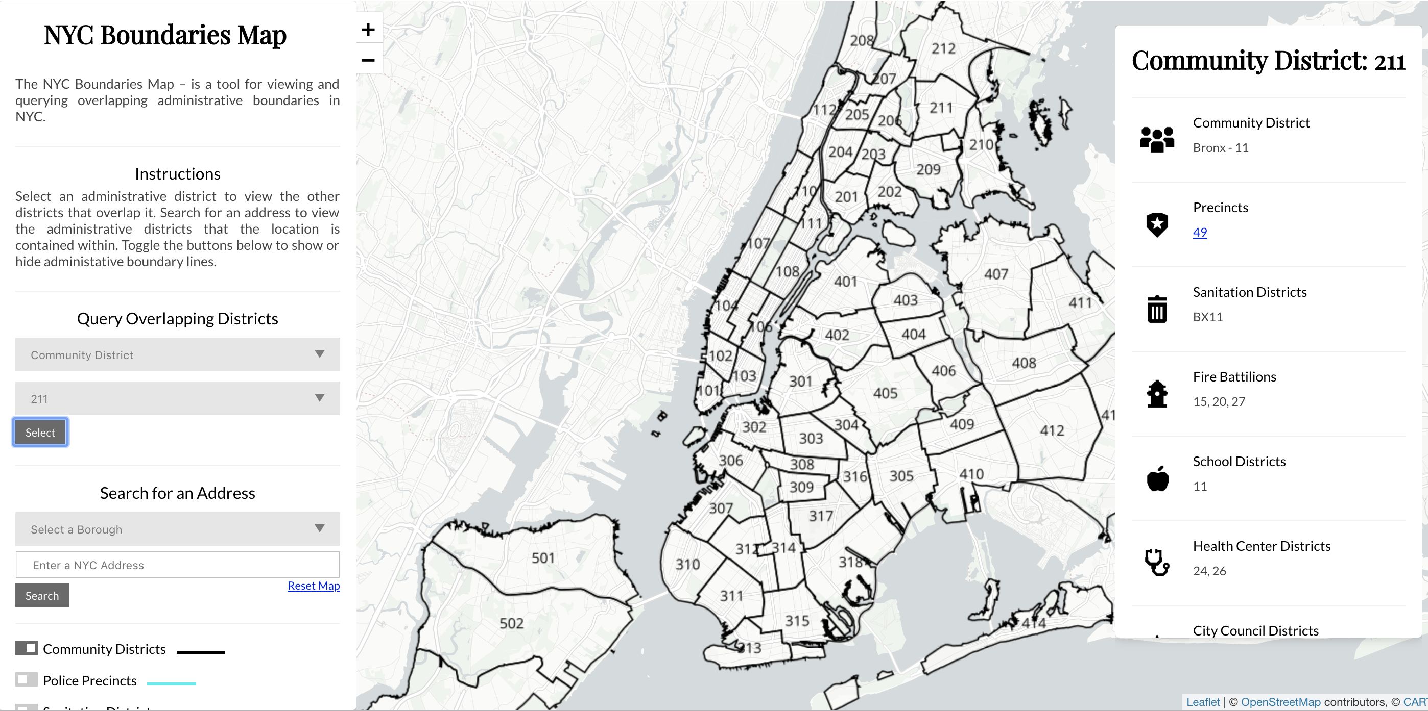

Various governmental bodies at the city, state, and federal level divide NYC's geography into a series of districts. Understanding how administrative boundaries overlap is also often important for interpreting open city datasets and summarizing information across multiple geographies. Sometimes, within open city datasets, values are reported at a district level. Boundaries Map helps users visualize this issue.
How I Started
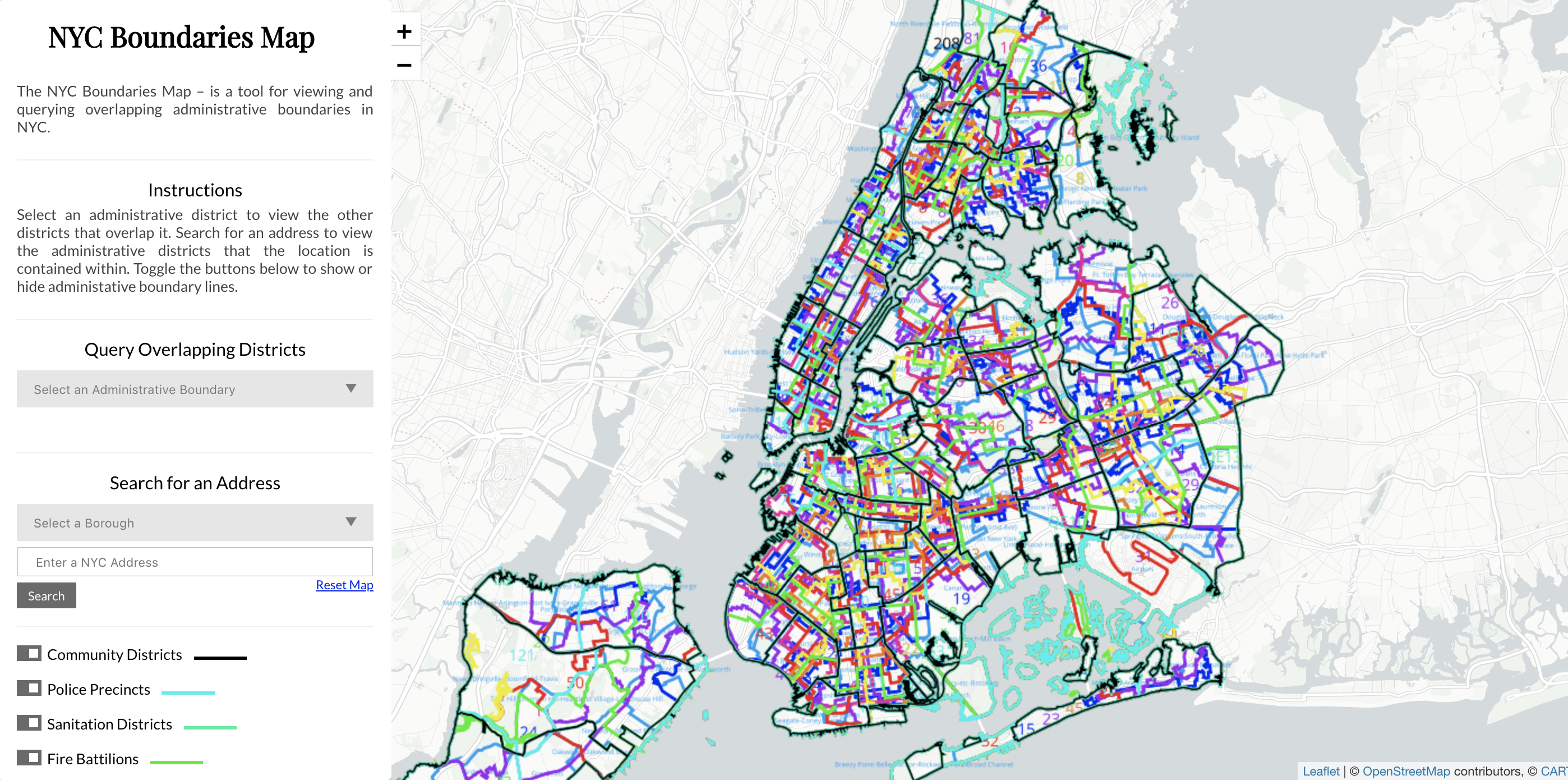
The NYC Boundaries Map is a tool for viewing and querying overlapping administrative boundaries in NYC.
How I Built This
The tool is rendered through Carto – a Web mapping service.